The Illinois and Michigan Canal
A ninety-six-mile waterway changed the scale at which goods, people and ideas could move through northern Illinois.
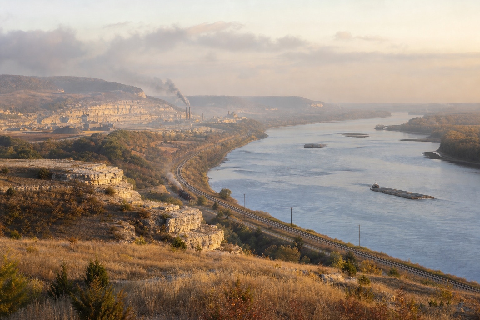
The Illinois and Michigan Canal opened in 1848, linking the Chicago River and Great Lakes system with the Illinois River near LaSalle. The National Park Service overview describes the canal as a major route between eastern markets, the continental interior and the Mississippi watershed. Its significance lies not only in boats on water, but in the network of farms, warehouses, shops, roads and towns that adjusted around it.
A canal is engineered geography. Surveyors and builders worked with a low divide between watersheds, managing grade through excavated channel, embankments and locks. Water supply had to be controlled. Towpaths gave animals a continuous route. Bridges negotiated the conflict between traffic along the canal and traffic across it. Maintenance was permanent because leaks, erosion, ice, silt and ordinary wear did not end when construction crews departed.
Opening a route
The waterway reduced transport friction for bulky goods. Grain and other farm products could reach wider markets; manufactured items entered inland communities; stone and timber moved in volume. A reliable route influenced land values and business decisions. It did not erase wagon transport, however. Most cargo still needed a first or final journey between a farm, landing, warehouse, mill, rail depot or shop.
Movement also brought people and information. Canal construction and operation depended on a varied labor force whose experiences were not evenly recorded. Boat crews, lock tenders, teamsters, warehouse workers, craftspeople, domestic workers and merchants occupied different positions in the system. A transport history focused only on owners and engineering achievements misses the routines that kept water, animals, equipment and accounts moving together.
Competition and adaptation
Railroads challenged canal traffic within years of its opening. Rail offered different speed, season and routing advantages, while waterways remained efficient for some bulk cargoes. The result was not an instant replacement but a changing transport ecology. Businesses compared cost and reliability. Facilities adapted. Towns that had oriented toward a canal landing also developed rail connections and later roads.
The canal’s commercial role diminished as larger water and rail systems matured, and it closed to navigation in the twentieth century. Closure did not remove the structure from the landscape. Sections became recreation corridors, ecological spaces and preservation problems. Buildings acquired new uses. Memories of canal work shifted into local history. The first National Heritage Area designation in 1984 recognized that the corridor’s significance extended across many communities and resources rather than one monument.
How to read a canal landscape
Start with alignment and elevation. A lock indicates a managed change in level; a broad basin may mark turning, waiting or transfer. Towpath width and bridge remains show circulation. Depressions, stonework and vegetation changes can signal buried or altered features, but surface observation should not become excavation. Public land rules, unstable edges and water hazards require current official guidance.
Then compare maps across time. Canal plats establish intended features, while later fire-insurance maps and aerial photographs show development around them. Newspapers reveal shipping reports, accidents and business advertising. Census and city-directory records can place occupations near the route. The National Register record for the Illinois and Michigan Canal provides formal significance documentation; its claims can be compared with local sources and updated scholarship.
National change at local scale
The canal is often credited with helping Chicago and Illinois grow, but its effects were uneven and locally specific. A new route can create opportunity for some property owners while bypassing others. Commodity production can expand while exposing farmers to distant price changes. Migration can enrich a community and also intensify conflict over labor, land and political power. Good interpretation holds these outcomes together.
LaSalle County offers a particularly clear vantage because the canal met the Illinois River here. The junction made regional geography visible: east toward Lake Michigan, south and west through the river system, and outward by road and rail. The county’s agricultural, industrial and civic histories cannot be reduced to the canal, but each was shaped by the possibilities and expectations that transport created.
The canal was not a line through an empty landscape. It was a new layer laid across older Indigenous routes, waterways, settlements and ecologies, then crossed by newer systems in turn.
Visitor note: Conditions, closures and access rules change. This site supplies no trail directions. Consult the appropriate public land or heritage-area authority before visiting any canal segment.